+++ SEASONAL NOTE for the autumn and winter seasons +++
During the autumn and winter seasons, from October to March, we do not offer fixed dates due to the weather conditions. However, please feel free to make an individual enquiry about your preferred date.
We start our e-bike tour in Bad Reichenhall at the location of your choice.
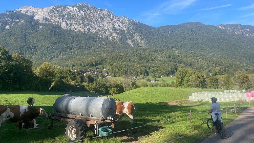
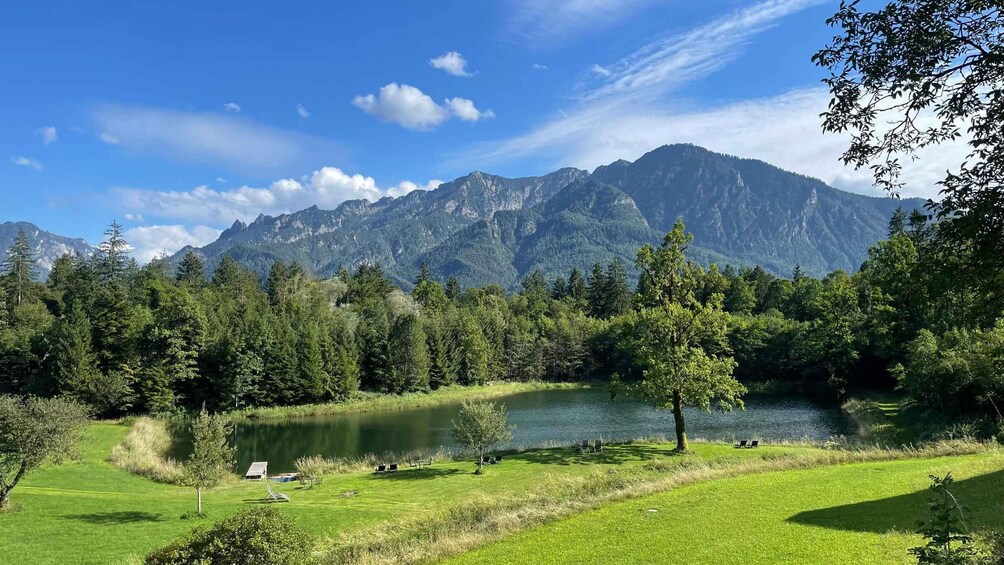
Depending on the starting point, we cycle along the Saalach, past Karlstein and the Eisenbichler farm, up the first undulating hills with phenomenal views of the Zwiesel and Hochstaufen mountains and the Reichenhall basin. The cows around us share this fantastic view with us. This might be a good opportunity for your first selfie with a cow and a mountain ;-)
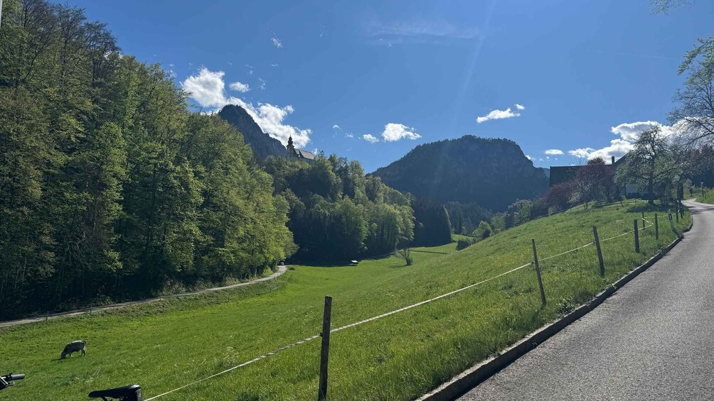
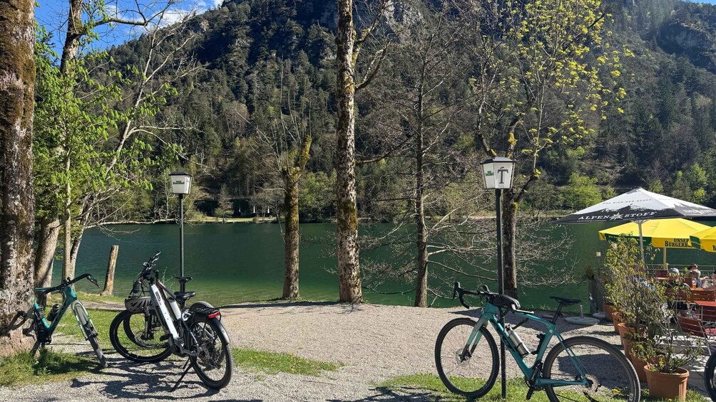
We continue uphill along a shady forest path to the beautiful Thumsee, one of the most beautiful and cleanest mountain and swimming lakes in Upper Bavaria. The beer garden right by the lake invites you to enjoy a cool refreshment and take a dip in the crystal-clear lake.
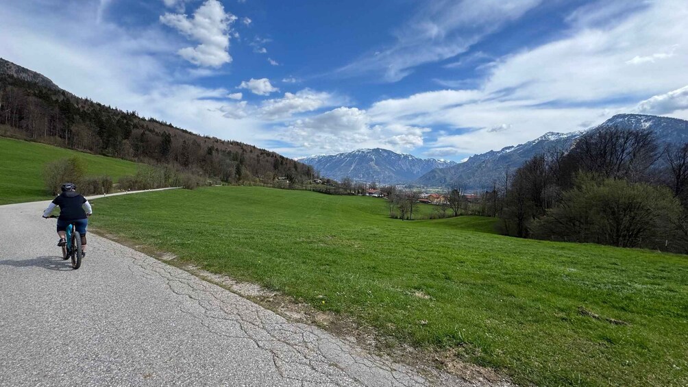
Refreshed and energised, we then head uphill through the forest towards Listsee and the Niederalm. A magnificent view over the Reichenhall basin rewards us at our next stop. A quick refreshment, and then it's downhill and through the Nonner Oberland, with an optional stop at the “farm shop” at Flatscherhof. Those who wish can buy local specialities (sausages, cheeses, etc.) here.
Then we continue along the Saalach River to the Staufenbrücke bridge. The route offers many great views of the Predigstuhl, the Sleeping Witch, and the Untersberg. If we like, we can take a short drink break at the Staufenbrücke beer garden.
To finish, we'll take a short detour to the beautiful, sunny mid-slope above Reichenhall and head to Bayerisch Gmain, where we'll once again enjoy the breathtaking mountain panorama to the fullest.
The return journey to Reichenhall then takes us to the final stop of the tour, the Wieninger Schwabenbräu beer garden at the end of Reichenhall's pedestrian zone. Our tour ends here with a cosy “zamsitz'n” (sitting together).
Tour facts:
Total distance: approximately 22 km (13.7 miles)
Elevation gain: Approximately 410 metres (1345 feet)
Duration: 3–4 hours, depending on the length of the breaks/stops